
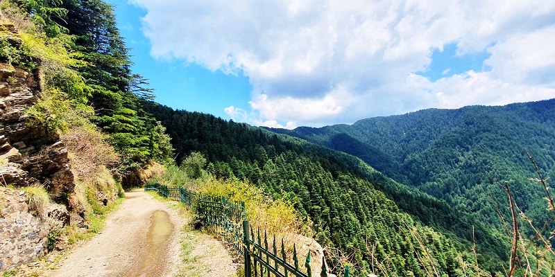

Shimla Water Catchment Wildlife Sanctuary
Today Closed UTC+5.5
10:00 AM - 04:00 PM
-
Monday
10:00 AM - 04:00 PM
-
Tuesday
10:00 AM - 04:00 PM
-
Wednesday
10:00 AM - 04:00 PM
-
Thursday
10:00 AM - 04:00 PM
-
Friday
10:00 AM - 04:00 PM
-
Saturday
10:00 AM - 04:00 PM
-
Sunday
10:00 AM - 04:00 PM